THE 21ST CENTURY WORLD – NO FUTURE WITHOUT CARTOGRAPHY
Michael Wood
Centre for Remote Sensing and Mapping Science
Department of Geography, University of Aberdeen
St Mary’s, Elphinstone Road
Aberdeen AB24 3UF UK
Fax: +44 1224 272331
Email:
Abstract: Although quite recently named, Cartography is an expression of one of humanity’s most ancient and fundamental impulses - mapping. This paper reviews its origins, nature and growth and, with the increasing support of technology, its essential role in representing and helping resolve the problems facing our fragile Earth in this 21st century. It is also proposed that, while the cognitive spatial consciousness from which it grew may have even pre-dated natural language, the language of cartography itself has been seriously underused by the majority. Until recent decades, most people only read (used) the products of this language. Today, especially through technological advances such as computers and the Web, these restrictions are being lifted as more people are becoming involved in both interpreting and creating cartographic products (i.e. truly using the whole language of Cartography). With this in view and with the expansion of the field of GIScience, the vital importance of Cartography must be recognised to ensure that it is developed as a core part of that science and not just as a peripheral tool for representation.
Prologue
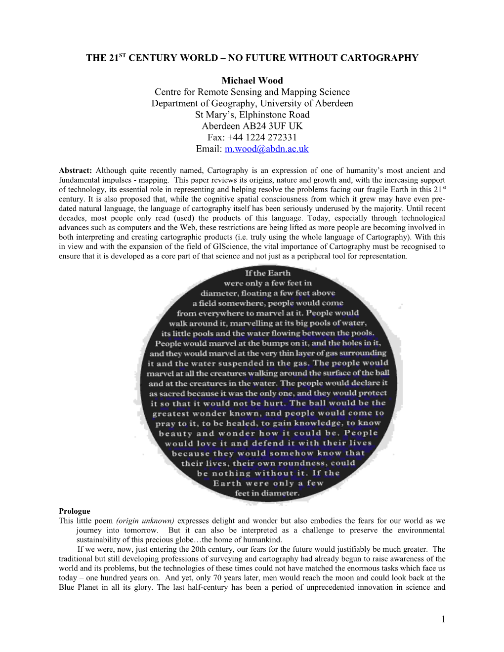
This little poem (origin unknown) expresses delight and wonder but also embodies the fears for our world as we journey into tomorrow. But it can also be interpreted as a challenge to preserve the environmental sustainability of this precious globe…the home of humankind.
If we were, now, just entering the 20th century, our fears for the future would justifiably be much greater. The traditional but still developing professions of surveying and cartography had already begun to raise awareness of the world and its problems, but the technologies of these times could not have matched the enormous tasks which face us today – one hundred years on. And yet, only 70 years later, men would reach the moon and could look back at the Blue Planet in all its glory. The last half-century has been a period of unprecedented innovation in science and technology and, with current facilities for Earth imaging and data capture, we are now able to recreate much of he poet’s vision. But such views, with their high resolution data content, are not only objects of wonder. They also provide a virtual environment for research, and this is where the unique facility of Cartography, in all its manifestations – from visualisation to communication - plays such a vitalrole[1].
The New Millennium – at last!
The ‘millennium’ theme has featured strongly in recent ICA conferences, with predictions of what the future might hold for cartography. Recent keynote speakers have reviewed the developments and changes of the last decade, their technological characteristics and professional, financial and societal dimensions. In my oral address I will provide some brief updates, especially on the importance of spatial data quality standards, the increasing flow of data across global networks and the growing co-operation between geospatial scientists. I will also assess some of the newer modes of delivering spatially-related information to users. It is worth noting, however, that the pace of change towards an electronic future is variable across the world. While it can be argued that we are all being pulled inexorably by technology in the same direction, we will not all arrive at the ‘destination’ at the same time (a point made through anecdote by David Rhind in Ottawa, 1999). Even in so-called advanced (commercially-oriented) societies there can be perturbations in the graph of change. For example recent re-evaluation of New Technologies caused a slump in technology/telecommunication shares in the world stock markets, and new leadership in the USA could affect agendas for projects such as Digital Earth.
Although showing continued confidence in and excitement about the future of cartography, all recent keynote speakers, to differing degrees, have predicted the demise of the professional ‘cartographer’, at least as he/she has been defined in broadly current times. And it is from this thought that I begin my own review of the present and future of our subject as it is increasingly employed by both scientists and lay people to help explore, analyse and understand our potentially fragile world. The cartography which has characterised most of last century is certainly changing. Some forms may have already disappeared, and with them the participating practitioners. I too am optimistic about the expanding future role of cartography but my views on the nature of its use, and the size of its user base, are influenced by my personal interpretation of the term ‘using cartography’. In the past cartography was largely a manufacturing industry (i.e. by professional map makers/cartographers) and the consumers of its products were the map users. What I envisage is a change of emphasis. The traditional ‘manufacturing’ scenario will certainly not disappear, any more than paper books are likely to disappear from our lives in the foreseeable future. When Vanessa Lawrence, the new Director General of the UK Ordnance Survey (and who is rapidly moving that organisation into e-business) was asked if she saw a future for paper maps in this electronic vision she replied with enthusiasm “Most certainly. I believe there will always be a market for good graphic products.” Although technology changes lives, not all technological innovations have totally transformed the way we did things before. Despite credit cards we still use cash; despite increasingly sophisticated methods of travel we still walk and cycle when appropriate; despite TV, satellites and home PCs we still listen to the radio and attend live entertainment. So there will continue to be a cartographer-client relationship for some special products and services (and not only paper-based). But to develop my ideas on what I will call ‘truly using the special language of cartography’ I will first re-examine the definition of the field and how the use of cartography is changing.
An approach to the analysis
Although ‘presentation’ and ‘communication’ have traditionally described our subject, the theme of this address (perhaps just a reminder to some) focuses on the essential and increasingly central place of ‘cartography’ in scientific geospatial investigations as well as in communication. I suggest that the human impulse to make pictures and to map, although evident in prehistory, early history, and amongst indigenous peoples today, has been the active preserve of the few and has remained largely undeveloped within the wider population until very recent times. True innovators of the past (and especially architect-builders and engineers) depended heavily, if not completely, on the fundamental and instinctive human trait of theorising, testing and developing ideas graphically and visually rather than with words. However, as these people were, first and foremost, creators of artefacts (including buildings and even maps), and seldom part of those ‘…small and specialized segments of our race which have had the habit of scribbling (i.e. writing about things! MW)’ (White, 1978), their creative procedures have ‘…been by and large an invisible and unrecorded aspect of the history of civilization.’ (Petroski,1989). Although cartographic activity has ancient origins and increasingly flourished from around the 16th century, most of the record (especially from the 18th century onwards) is of presentational, printed products alone – largely the output of a small number of mapping professionals who emerged when an excess of detail demanded specialised craftsmanship to preserve legibility. These products were often described as spatial ‘databases’ representing physical and, later, human landscapes, etc., the pre-map images, compilation drafts, or even sketches from map-related investigations which may have formed part of the working drawings of people such as hydrographers, archaeologists and geographers, have been lost. Nevertheless, reference texts such as ‘Cartographical Innovations’ (Wallis & Robinson, 1987) and the outstanding research volumes of the Chicago ‘History of Cartography’ project (Harley & Woodward, 1987-) do list and describe many examples, although most of printed rather than rough manuscript form. If, at its core, cartography is truly a common and specialised graphic language (Harley & Woodward, 1987-), graphic evidence of the externalised visual thinking processes (in the form of cartographic ‘sketches’, etc.) of specialists as part of their preliminary research activities, must have existed. But, they too may have been lost or ignored (as trivia?) by the more ‘literary’ historians castigated (above) by White (1978).
In this review I will first reduce ‘cartography’ to what may be called its basic features. This exposes examples of cartographic processes ranging from mental visualisation to the toolboxes of GISystems . I will then examine the nature, character and historical provenance of what has been called the ‘mapping impulse’, justify its continuity and herald its recent revival and growth within the wider community. Finally I will review the nature and role of cartography and its users, today and in the future. In relation to the latter (and as suggested in the previous section) I propose a small but, I believe, significant change in the way cartography can be viewed. In the past, with the domination of professional cartographic practitioners and their mass output, a clear dichotomy could be observed between ‘makers’ and ‘users’. Although this may have seemed logical, even inevitable, in the past, it highlights the absence of the (creative) mapping impulse (or instinct) in the wider population, already identified in peoples from all regions and continents. It might also make us doubt the existence of what has been called a cartographic language (Harley & Woodward, 1987-). If we follow the linguistic analogy, those who use language to the full do not merely ‘read’ (or use) text documents prepared by others. They also write the language as a means of investigation and communication (e.g. keeping a diary, writing letters of all kinds, making detailed notes while reading articles, or preparing lists and plans-for-action.). The past can certainly be characterised as a time when most people (who had any contact with maps) were map-users only. Today, however, and especially with increasing facilities for interactivity on the Web, the so-called democratisation of cartography is encouraging increasingly impressive numbers to make fuller use of their own creative cartographic instincts. They are becoming more holistic, participant users of cartography and not just the restricted users of maps prepared by others. I will illustrate this progress towards such more profound ‘usage’ of cartography as a unique facility in both the exploration and analysis of spatial information and in its representation and communication. The process can be seen at both the informal level - sketching maps on paper or on Palmtop computer screens – and, more formally and implicitly, when employing GISystem software on desktop PCs or on the Web.Although technological advances can curtail certain personal activities (e.g. cars reducing our walking activities) it is my belief that, through the development of both computer and electronic communication technologies, we are now moving into an era when cartographic activity will grow – the technology is expanding human potential. The prospect is exciting both for increased societal awareness of the world and its problems and for continued evolution and innovation in scientific research methods.
A return to basic considerations
The map-making instinct/impulse has existed in humans for millennia, and the inventive variety of useful map-like artefacts which have been discovered would certainly challenge the innovative nature of many of the narrow, and perhaps even predictable technology-based products of today. Names such as ‘cosmographer, hydrographer, geographer, philosopher, platt-maker, and chart-maker..’ (Wallis & Robinson, 1987) and even chorographer, reflect the diversity of the disciplines and occupations of past mapmakers, but it was not until the 19th century that the Portuguese Viscount de Santarem coined the word ‘cartography’. Although defined first as ‘the study of ancient maps’, it was soon adopted as a general term for the future. While it has been criticised as perhaps inappropriate for the modern discipline, it also shares its relatively recent adoption with terms such as ‘palaeontology’, ‘ecology’, ‘biology’ and ‘psychology’. In the first half of last century cartography was defined as the manufacture, or the art, science and skill of making maps (a definition still common in modern dictionaries). Since then various alternatives have been offered, including the very specific ‘information transfer that is centred about a spatial database which can be considered in itself a multi-facetted model of geographical reality’ (Guptill & Starr, 1984). As the ICA’s concern is to include all those who believe in maps and who are involved with their creation and use, before 1991 the official definition was ‘the art, science, and technology of making maps, together with their study as scientific documents and works of art’ - including all types of maps and 3D models. The current ICA definition is even more inclusive, ‘the discipline dealing with the conception, production, dissemination and study of maps’ in all forms (ICA, 1995), classifying even map publishers and shopkeepers as ‘cartographers’? My personally preferred definition has always been more focused on the creative design of the traditional graphic product. Indeed I still warm to Muehrcke’s statement that ‘Cartography happens at the design stage. Design is the creative heart and soul of our field’ (Muehrcke, 1996). However, when we observe the uncertainties and misunderstandings of some new and often cartographically naïve users of GIS or the Web (e.g. the belief that cartography is merely part of the ‘output’ end of a GISystem, or that GISystems have replaced cartography), perhaps the flexibility of the current ICA definition is a disadvantage. This ‘challenge’ from GIS has been characterised vividly by Muehrcke, ‘This new technology (GIS) is supposed to take us beyond maps. If we are to believe GIS proponents, then analog cartography is dead and digital cartography is dying…..they say that the paper map has been dead for a long time.’ (Muehrcke, 1996) Believing as I do in the fundamental importance of cartography as a core rather than a peripheral facility, such observations, exaggerated or not, frustrate me. I thus feel the urge to probe more deeply into cartographic fundamentals to seek the foundations of the subject. A useful start is provided by Kraak and Ormeling (1996, Figure 1.3). When describing the nature of spatial data they offer a sequence of abstraction and transformation from ‘reality’, through the ‘digital landscape model[2]’, the ‘digital cartographic model’ to the visual ‘map’ and finally to the ‘mental map’ as interpreted in the mind of the viewer. My view of the cartographic process can be summarised as follows:
- Cartography is primarily (but not solely) the production of a visually-perceivable graphic image (normally an abstracted model of the reality being portrayed). The cartographer “selects, generalises and researches, but in the end he must put his materials and determinations into graphic form.” (Robinson, et al, 1995). Naturally (as in the past) this image can be formed and retained in the ‘database’ of the mind or (more conventionally today) in computer digital form, before being externalised for scrutiny and application.
- What I would call the true ‘cartography’ first emerges as an embryonic (digital) representation of the spatially-located, abstracted elements of the subject (e.g. the ‘landscape model’ of Ormeling and Kraak, 1996) - as points/lines/polygons stored in an appropriate database structure. Once externalised (made visible) and even before graphic differentiation (design) is applied to its elements, a map reader may still be able to interpret the represented landscape from the patterns of point and line, or the differing line characteristics (e.g. jagged coasts or smooth railway curves). A typical example of this form of rudimentary map is a quick pencil-drawn sketch on the ‘back of an envelope’. The fact that such a simple image can be recognised and used as a map confirms its basic cartographic authenticity.
- The physical locations of the elements of the landscape model can be determined in a number of ways:
- from instinct and experience – as in a sketch derived from a personal cognitive map (e.g. the memory of the street plan round a childhood home.)
- from belief of where they should be (e.g. an attempt to draw a contour pattern to represent a U-shaped valley)
- from survey measurements made in the field or derived from another source (e.g. photogrammetry)
- from any of a variety of computations made on the above model elements or from their combination. (e.g. projection graticule; interpolated contours; assigned buffer round a lake shoreline)
- The next stage is to introduce character and contrast through the application of graphic (and other) variables. Initially this will help make the image more legible and comprehensible (bringing the model to life). Naturally at this stage there are a variety of ways in which the map may be designed to draw attention to ‘this’ or ‘that’ or to define its communicative or analytical purpose! Before this happens it is just a compilation (e.g. from the topographic survey). However without the ‘locations’ in the first place, no design can be applied and so the fundamental skeleton of the cartographic product must be recognised as the ‘landscape model’.
From this simple and focused description and analysis of cartography (based on the conventional planimetric map as an example only), a variety of map types and other cartographic products can be imagined. These will range from quick hand-drawn sketches to accurate topographic map series created by national mapping agencies; from planimetric maps to 3D models, static or animated; from printed paper products to web-based GISystems offering full interactivity, multimedia and New Media dimensions. We can also, more confidently, include, as basically cartographic, many of the spatial analytical processes incorporated within a GISystem function-suite: e.g. the retrieval of map layers, overlay operations, combining layers arithmetically or logically, and neighbourhood functions (also see Tomlin, 1990). True cartographic procedures, therefore, lie deeper within GISystems than may be realised by some new users, and certainly extend beyond the visual presentation of the results of analyses, or, more briefly, ‘cartographic output’. In some cases they comprise the analytical processes themselves, referred to as the “digital equivalents of analogue procedures that cartographers have used for 50 years” (Robinson, et al, 1995).